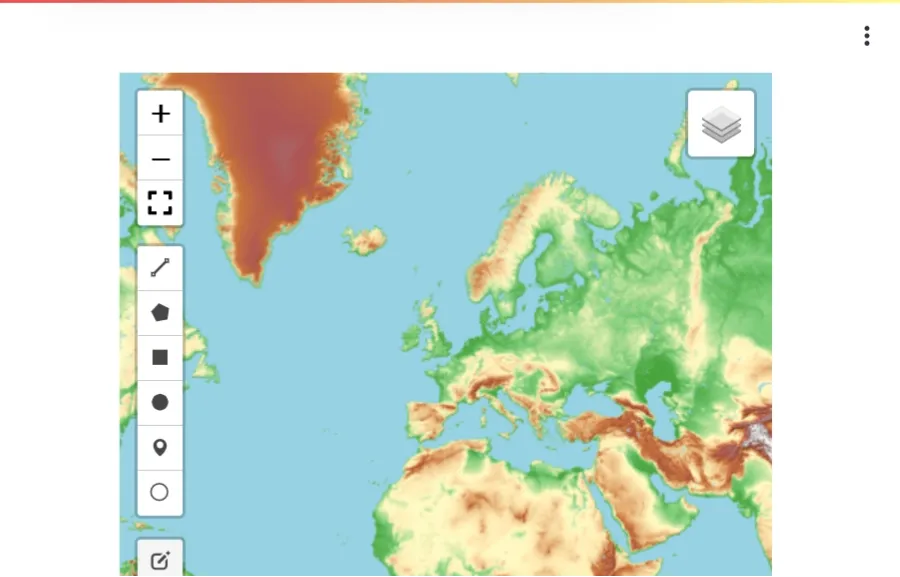
Interactive Map Visualization with a Vector Dataset using Solara
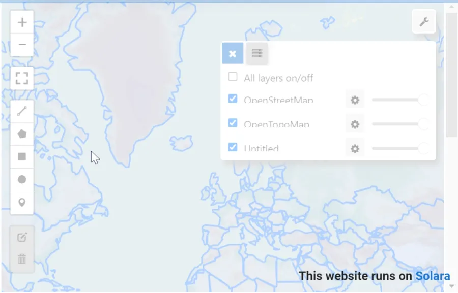
Basemaps - Using Solara and Leafmap
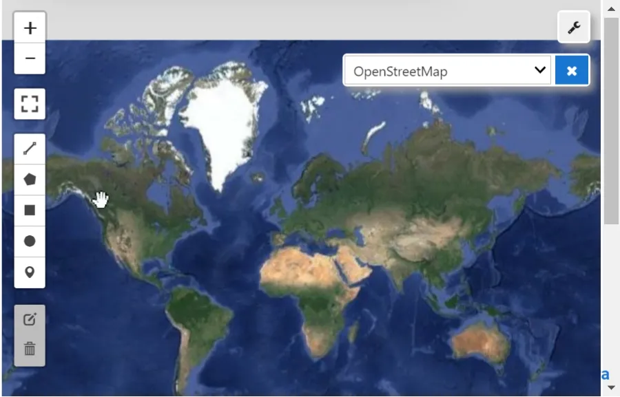
Basemap Search and Visualization using Leafmap
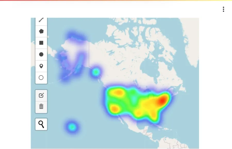
Population Density - USA
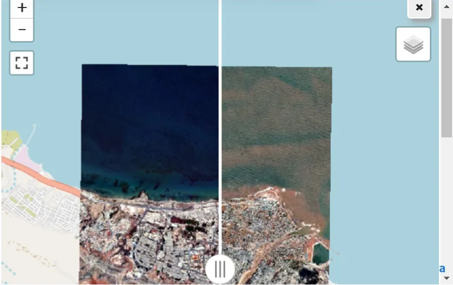
Interactive Before/After Satellite Imagery Comparison with Solara and Leafmap
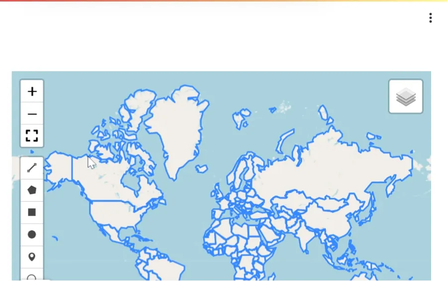
Interactive World Map Viewer with Streamlit and Leafmap